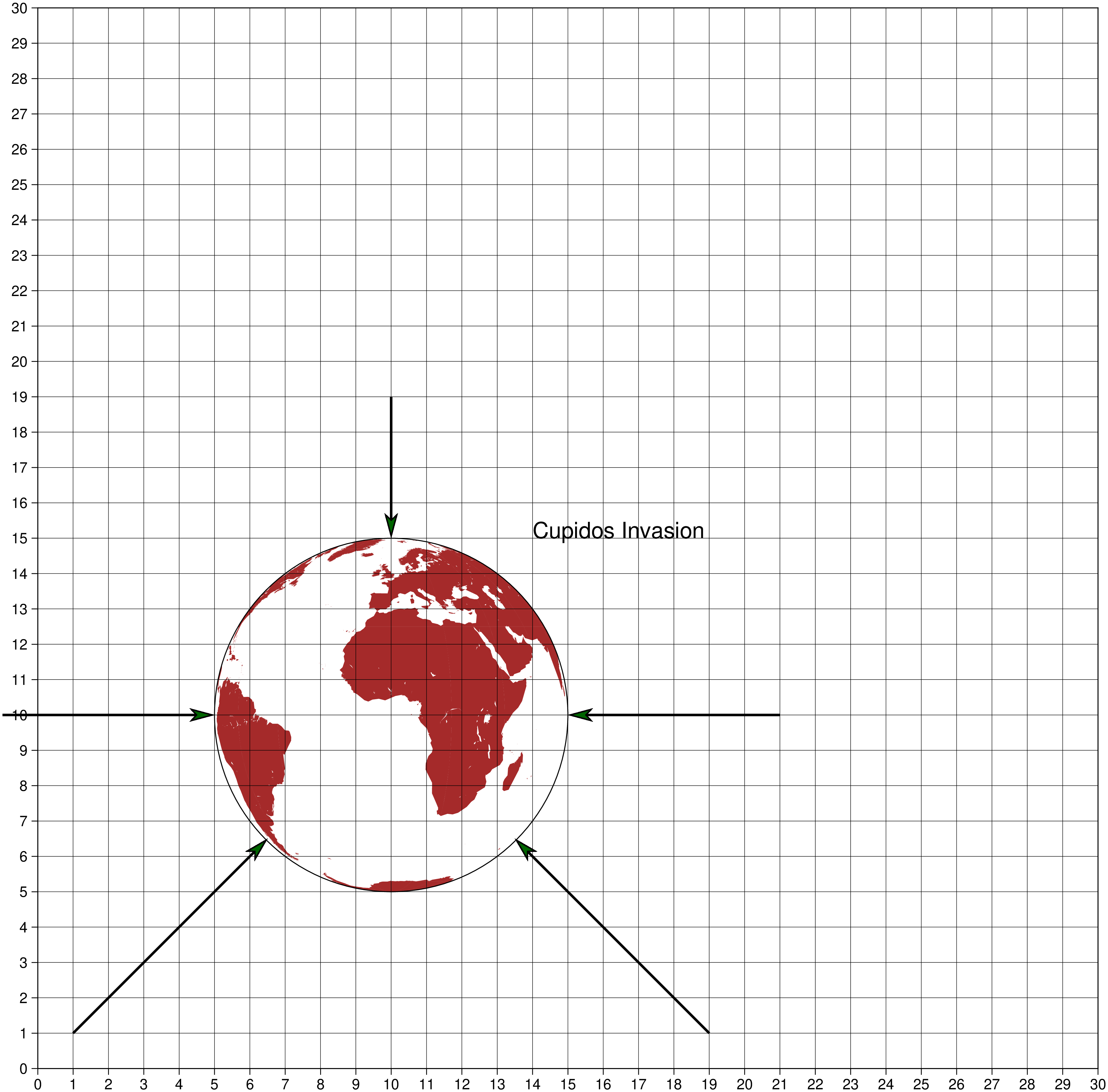
Annotations in geog maps
When we want to make annotations or draw additional symbols outside of a map in geographical coordinates, we have a problem. Because the geographical coordinates are active one cannot plot outside of Earth. The solution is to define a larger cartesian frame and do the annotations using this new reference. To make this process simpler we use the option paper option that is available in the plot, text and colorbar modules. This option sets and unsets the temporary cartesian frame under the hood and we only have to care to use cm (or inch) as units.
To help even further, we can ask to plot a paper grid that will show the paper coordinates. That is obtained by using paper=:grid
using GMT

# First plot in geographical coordinates
coast(region=:global, projection=:ortho, figsize=10, land="brown")

# Add annotations using paper coordinates and ask to plot also the paper grid
arrows!([1 1 6.5 6.5; -1 10 5 10; 10 19 10 15; 21 10 15 10; 19 1 13.5 6.5],
        lw=2, fill=:darkgreen, arrow=(length="20p",), endpoint=true,
		paper=:grid, noclip=true)
text!(text="Cupidos Invasion", x=14, y=15, justify=:BL, font=18, paper=true, show=1)
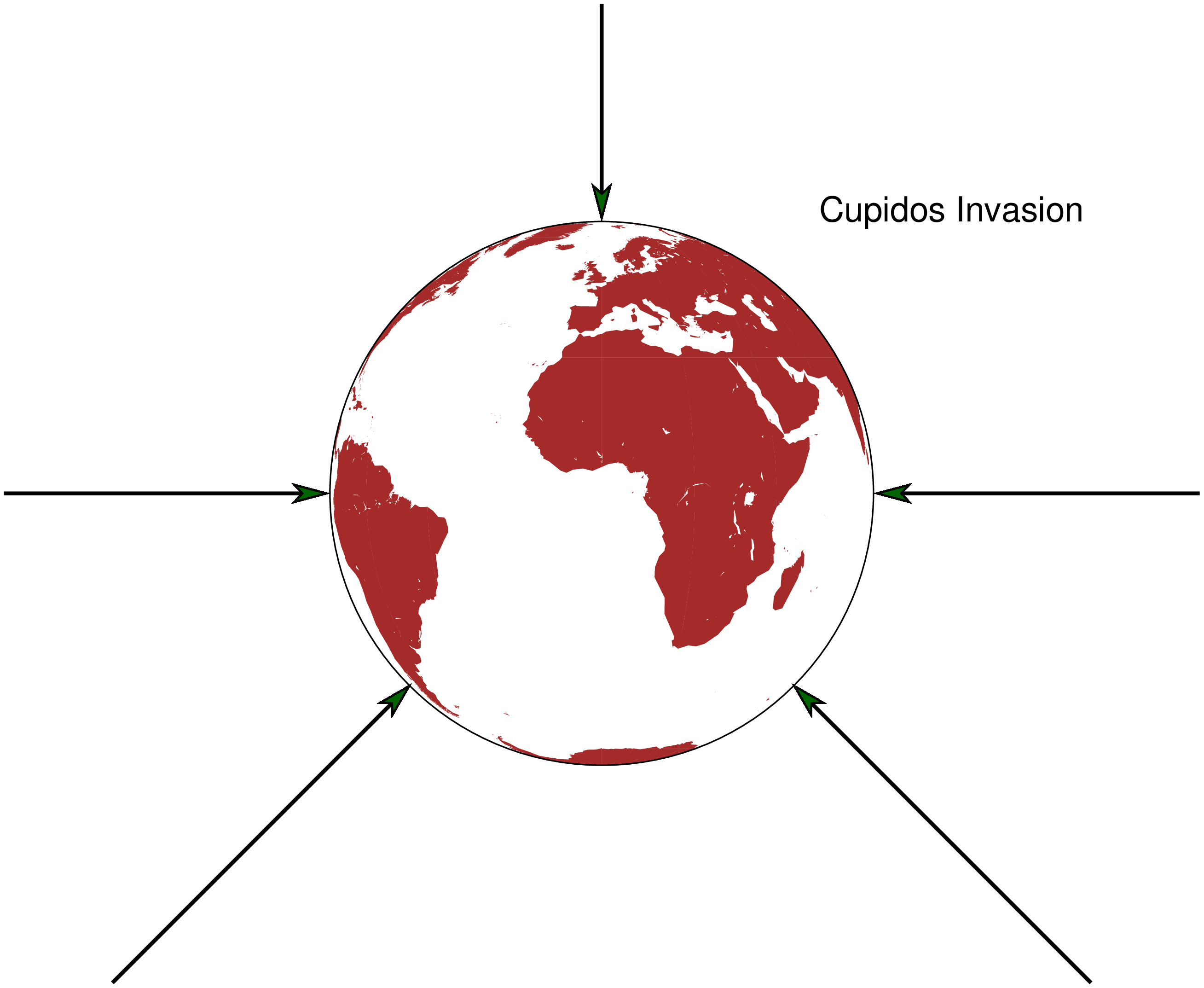
Once we are satisfied with the annotations we redo the map but this time with paper=true Note also that we can specify the arrow head size with the markersize (or ms) keyword.
using GMT
coast(region=:global, projection=:ortho, figsize=10, land="brown")
arrows!([1 1 6.5 6.5; -1 10 5 10; 10 19 10 15; 21 10 15 10; 19 1 13.5 6.5],
        lw=2, fill=:darkgreen, ms="20p", endpoint=true, paper=true, noclip=true)
text!(text="Cupidos Invasion", x=14, y=15, justify=:BL, font=18, paper=true, show=1)
These docs were autogenerated using GMT: v1.33.1